BUSAN LANDMARK GUIDE
Dongbaek Island & Nurimaru
동백섬 · 누리마루 · 冬柏島・ヌリマル · 冬柏岛与世峰楼
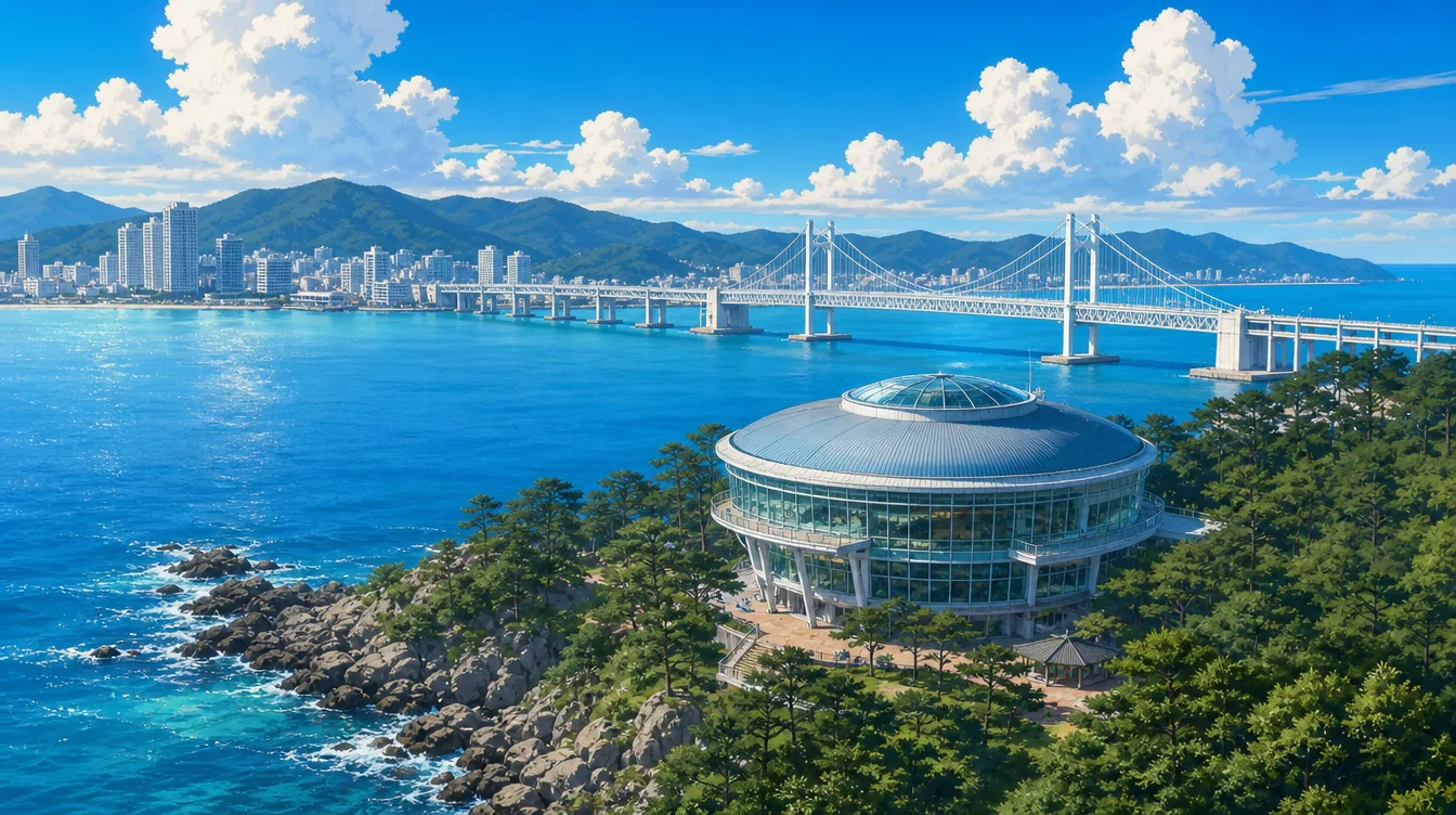
About Dongbaek Island & Nurimaru
Follow the pine-lined coastal walk to Nurimaru APEC House and views of Gwangan Bridge across the water.
This landmark is located in 해운대구 · Haeundae. Its representative map coordinates are 35.1524° N, 129.1522° E.
See it on the map
Open the interactive atlas to view satellite imagery, simplified 3D buildings, directions, multilingual information and visitor reviews.
Explore Dongbaek Island & Nurimaru in 3D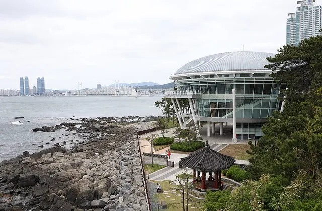
Frequently asked questions
Where is Dongbaek Island & Nurimaru?
Dongbaek Island & Nurimaru is in 해운대구 · Haeundae, Busan, South Korea.
Can I explore it in 3D?
Yes. Busan Summer Atlas provides an interactive map with rotation, zoom, satellite imagery and an optional 3D building layer.
Which languages are supported?
The atlas provides 20 built-in interface languages, with English as the default language for international visitors.